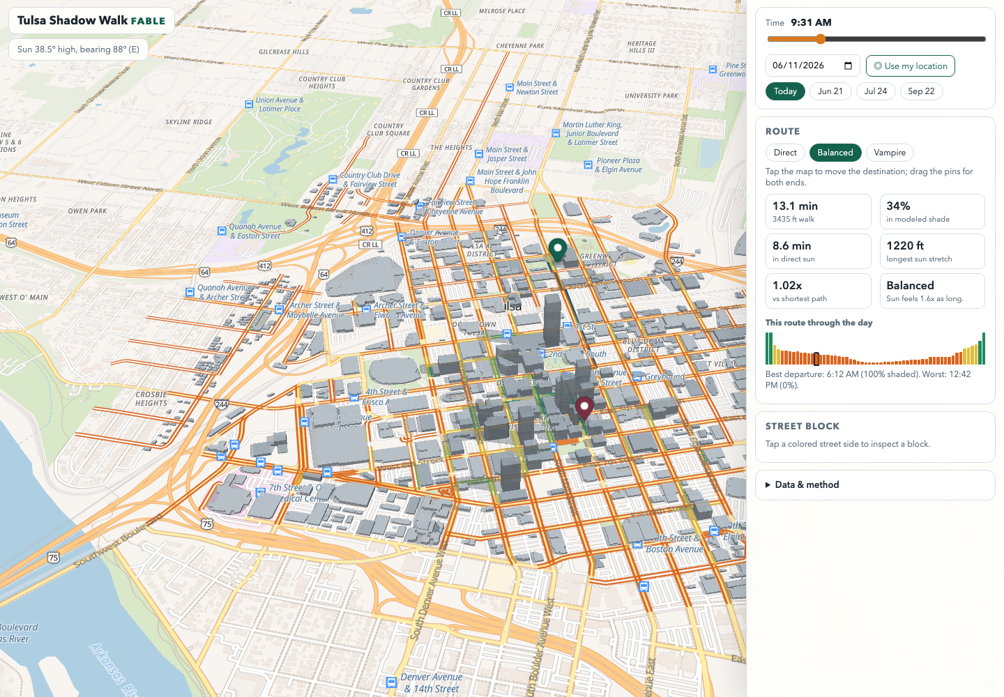
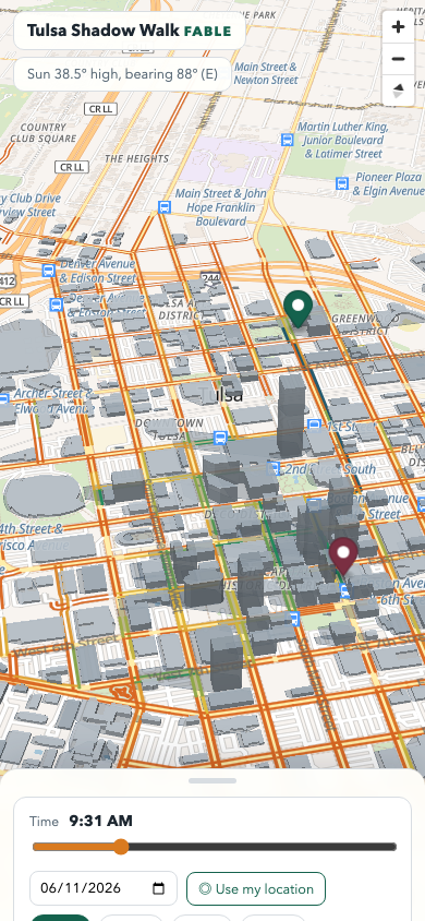
Tulsa Shadow Walk
A real-time MapLibre shade-walk app for downtown Tulsa.
It computes building shadows from real OpenStreetMap footprints and NOAA-style solar position for any minute of any day, scores both sides of every downtown street block, finds shade windows, and routes shade-aware walks over the real OSM walking network. “Best time to walk” per block — including when both sides are shaded — is the differentiator for Tulsa heat.
Links
- Site: Tulsa Shadow Walk (Fable)
- Original prototype: Tulsa Shadow Walk (OBRA)
- GitHub: fable-shadow-walk source
- GitHub: original OBRA prototype source
Highlights
- Continuous-time shade — a full-day time slider with date presets, instead of three hardcoded sun windows; sun altitude/azimuth shown live.
- Side-of-street scoring — every block gets offset bands on both sides, sampled against the modeled shadows and colored sun-orange to shade-green.
- Shade-aware routing — Dijkstra over the real OSM walking graph with Direct / Balanced / Vampire sun-aversion modes, plus sun-minutes and detour metrics.
- Free and static — “Everything is free and static: Overpass-fetched OSM data, OpenFreeMap tiles, no keys, no backend storage.”
- Honest about limits — “Side bands are synthetic offsets, not surveyed sidewalk geometry. Building shade only: no trees, awnings, terrain, or construction yet.”
How It’s Built
- Frontend — Vite and React, with an imperative MapLibre controller that owns the map and shade model outside the React render loop.
- Map engine — MapLibre GL with OpenFreeMap tiles and OSM-derived roads and building polygons.
- Shade model — NOAA-style sun position for any minute of any date; each building casts a hull-swept ground shadow from its height; point-in-shadow tests use a grid index rebuilt per time tick.
- Routing — Dijkstra over OSM walkable ways with experienced-length costs that weight sun exposure.
- Mobile UI — a Vaul drawer with rest, half-open, and full-open states.
- Hosting — Cloudflare Worker plus static assets; all shade math runs client-side as browser ES modules, also imported directly by
node --testsuites.
Screenshots